
The diamond industry has changed significantly in recent years as more buyers seek ethical, affordable, and sustainable alternatives to mined diamon...

Search engine optimisation has changed dramatically over the past few years. Search engines have become smarter, user behaviour has evolved, and bus...
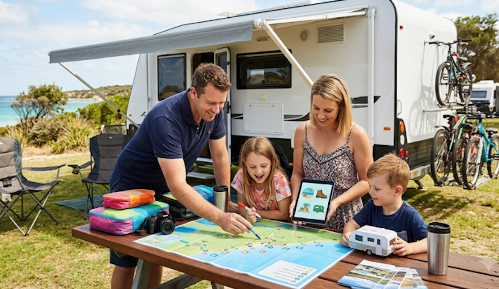
A family road trip is one of the best ways to explore Australia together. And, travelling by caravan gives you the freedom to take your time, stop a...
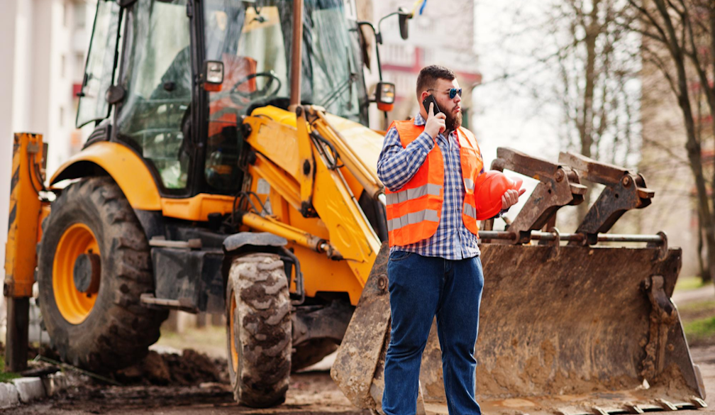
The first client who asked me for a mini excavator and trailer package for sale wasn’t trying to save a few hundred dollars on shipping.
They we...

Father’s Day can accidentally turn Dad into the unpaid event manager of his own celebration. He lights the barbecue, finds extra chairs, checks wh...
With a caravan, you can travel anywhere and everywhere without battling the rush of the peak holiday season or last-minute reservations. While the r...
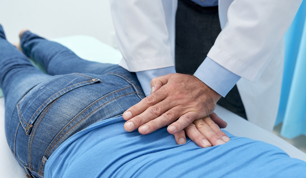
Sciatica isn't just annoying. It's genuinely painful.
It sits deep in your glute and shoots straight down the back of your leg. It turns something as...

As wardrobes shift to cosy knits, tailored coats and rich seasonal textures, jewellery becomes the finishing touch that pulls every winter outfit to...
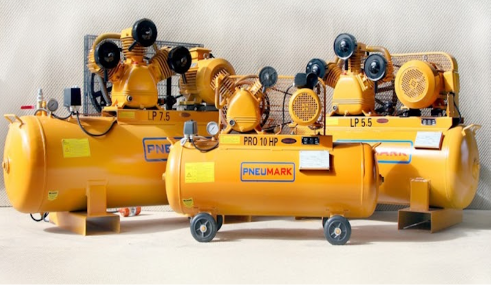
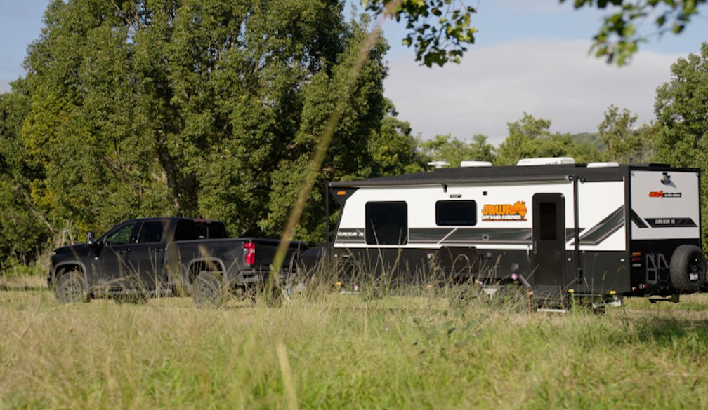
If you run a workshop, panel shop, or fabrication business anywhere around Perth, you already know what heat and dust do to equipment over a few sum...
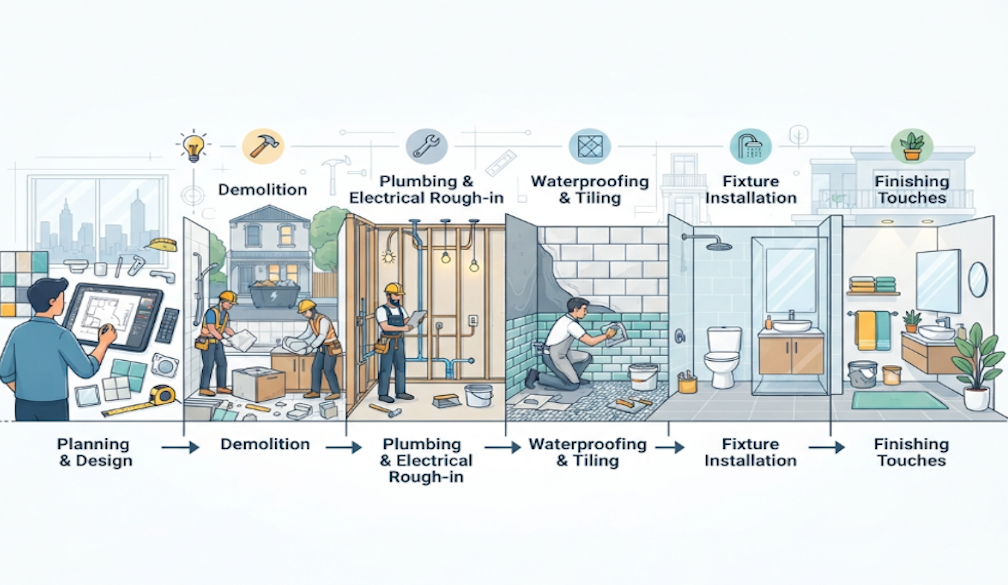
Planning a bathroom renovation is exciting, but one of the biggest questions homeowners ask is, "How long will it take?" While every project is uniq...

Acne is the most common skin condition in the world. An estimated 85% of people experience it at some point between the ages of 12 and 24, and a gro...

Every Australian summer brings a fresh wave of swimwear trends, but some styles have much greater staying power than others. While fashion constantly ...
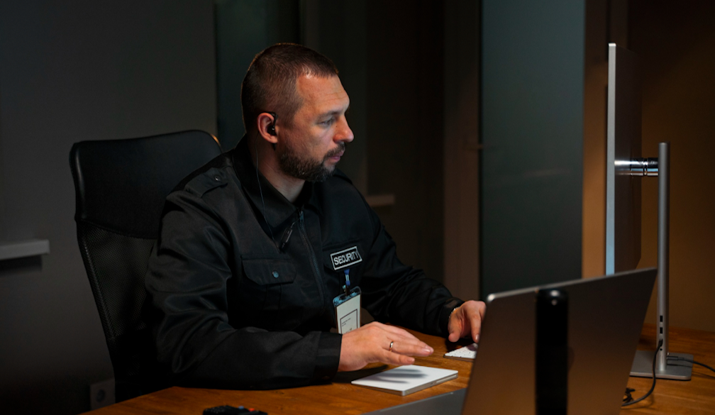
A guard at a Brisbane shopping centre gets a call about a shoplifter who's turned aggressive.
They’ve done the job for six years. But their de-...
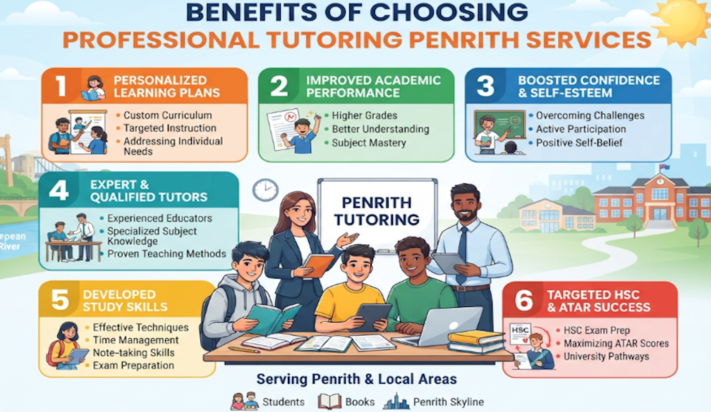
Every student has unique learning strengths, challenges, and academic goals. While classroom teaching provides essential knowledge and structure, so...
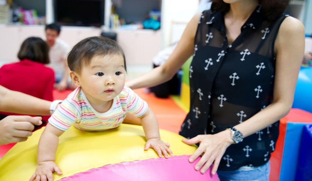
There's a movement gaining traction on the Sunshine Coast, providing a village of support, socialisation and relief for first-time mothers and babie...

Some dads are easy to buy for. Others do not want anything, already have everything, or give you the classic "don't worry about me" answer every yea...
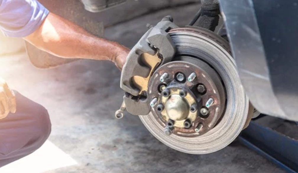
Brakes don't need frequent replacements like oil changes do.
But a lot of the wear happens quietly, over months, because of habits most drivers...

Moving into a new home is an exciting opportunity to personalise your space and make it your own. While many homeowners focus on furniture, flooring...


 Shutterstock